If you want to know about the elements of design or objective of design or principles of design, please click the link.
Site planning is the process of designing the layout and organization of a piece of land in order to best meet the needs and goals of the project. Site planning can encompass a wide range of activities, from analyzing the physical characteristics of the site to developing plans for buildings, landscaping, and infrastructure.
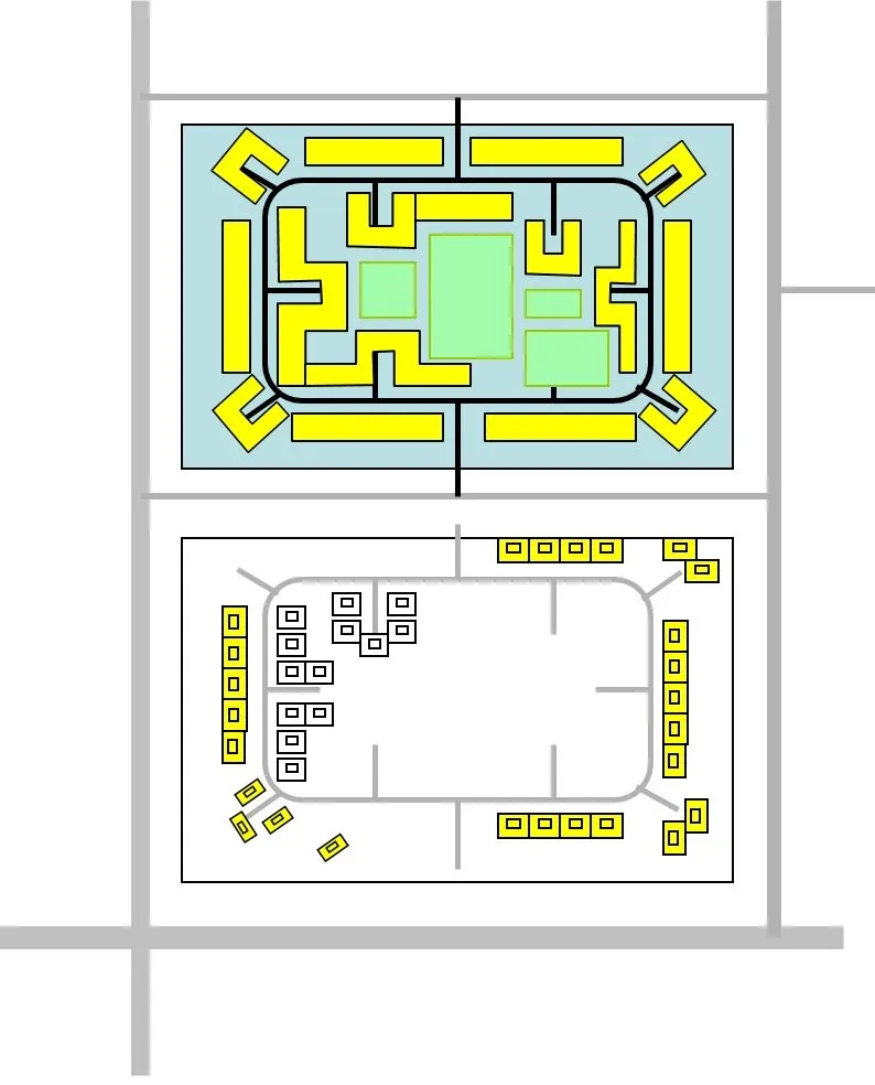
An approach to evolve an efficient layout
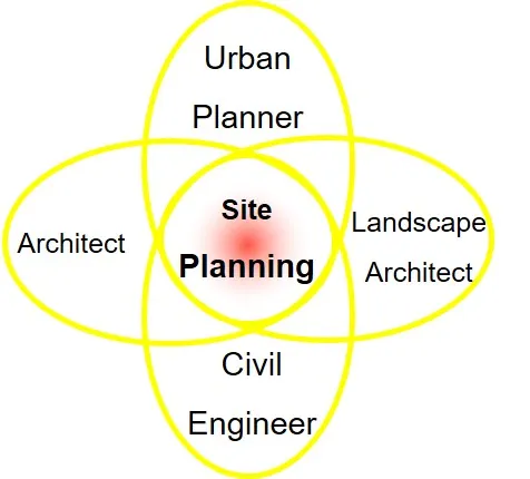
- Site planning entails a critical process of research, analysis and synthesis, involving the disciplines of Urban Planning, Architecture, Civil Engineering and Landscape Architecture.
- It is an art and science of arranging the elements of physical environment to support human behavior for specific activities planned in certain parcel of land.
- It involves basically four aspects or tasks as under:
1) Task – 1
Detailing of the programmer brief
The brief (term of reference) of what is to come on the site should be worked out for actual area and volume of the required built space for,
- The main activity
- Support activities
- Networks and services
- Landscape
—– to the satisfaction of the user/client
2) Task – 2
i) Site Analysis
The site has to be studied for all the natural and cultural elements/factors within its boundaries as well as in the adjoining area around it. Its functional and physical linkages – existing as well as anticipated with other parts of the city should also form the part of the study.
Main areas of study under this task are as follows:
a) Natural factors
- Geologic base and landform
- Type and depth of rock – for foundation etc.
- Borings
- Relevance to specific projects
- Irregularities of the earth surface
- Topography – Maps with
- Title, Location, Date etc.
- North Pt. Scale
- Property line, Bldg. Line
- Existing easements, R O Ways
- Names of property owners on adjacent site
- Locations of structures on the site
- Drainage & Sewerage
- Wooded areas –type, size, no. of trees and plants
- Water bodies
- Tele. Poles ,electric lines cables and fire hydrants
- Rocks outcrops (natural features)
- Road elevations at 15m intervals
- contour intervals –25. 50 cms. & 1 m.
- Elevations at 15 m. grid.
- Hydrography
- Surface Drainage
- Water table and Underground water
- Soils
- Types, deficiencies, relevance to plants and trees
- Water absorbency
- Vegetation
- Fauna
- Climate
- Sun, (temp.) light, rain, wind, humidity
b) Cultural factors
- Landuses
- Linkages
- Traffic and transit
- Density and F.A.R.
- Utilities and services
- Existing buildings
- Historic factors
c) Aesthetic factors
- Imageability and visual analysis of natural and man-made elements in and around the site.
5) Task – 3
Interpretation of development controls for the site development
The site development has to respect the Master Plan, Zonal Regulations, Building Byelaws, height restrictions and environmental requirements etc. They have to be accurately interpreted for the site conditions.
6) Task – 4
i) Evolving a layout
- Basically, this part consists of designing and calls for a creative synthesis of earlier three tasks.
- Herein the building mass; open spaces, networks and landscape features are to be integrated in such a way that the developed site becomes functionally efficient, socially desirable, environmentally healthy and aesthetically pleasing; fitting well within the wider urban environment around.
ii) Layout Considerations
- Optimum orientation to majority of blocks
- Massing and Groupings of Bldg. Blocks
- Enclosed spaces and their hierarchy in Q & Q
- Movement System – Vehicular, Pedestrians, cyclists parking etc.
- Network of utilities and services
- Landscape – for comfortable micro climatic, functionality & Ambience
- Sociability (Taking care of all age groups, gender and income groups separately and collectively) and
- Imageability

iii) Typical Street Patterns

iv) An approach to evolve an efficient layout


Site planning is a complex and multifaceted process that requires a thorough understanding of the project goals, the site’s physical and environmental characteristics, and the needs and concerns of the surrounding community.